Book summary
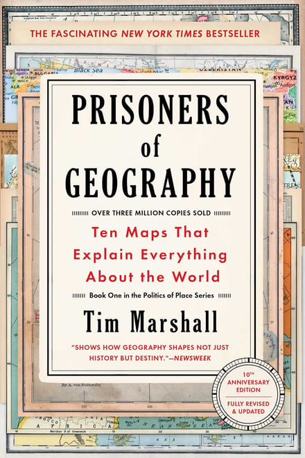
Prisoners of Geography: Ten Maps That Explain Everything About the World
Ten Maps That Explain Everything About the World
The full book runs ~291 pages — roughly 5 hours of reading. You get the key ideas here in 5 minutes.
The key ideas
- Flat land invites invasion: Russia was attacked across the same plain every thirty-three years.
- Warm-water ports decide policy: Sevastopol explains the annexation of Crimea.
- Navigable rivers build empires: the Mississippi basin beats the rest of the world combined.
- Isolation compounds: Africa's waterfalls and smooth coast blocked trade for millennia.
- Colonial lines don't hold: the states invented by Sykes-Picot are coming apart.
- Technology bends geography's rules but never repeals them.
The summary
Vladimir Putin says he is a religious man. Tim Marshall imagines him at his prayers each night, asking God one question: why didn’t you put some mountains in Ukraine? Because there are none, the North European Plain runs flat from France to the Urals, and armies have come across it repeatedly — the Poles in 1605, the Swedes in 1708, Napoleon in 1812, the Germans in 1914 and 1941. Count the Crimean War too and, between 1812 and 1945, the Russians fought on or around that plain roughly once every thirty-three years. The landscape imprisons leaders, handing them fewer choices than the headlines suggest.
Russia has been fighting the same two problems for 500 years
Early Russia — the Grand Principality of Muscovy — was indefensible. No mountains, no deserts, few rivers: flatland in every direction, with Mongols across the steppe, so an invader could pick his spot. Ivan the Terrible’s answer was attack as defence — consolidate, then push outward until you hit something an army can’t cross. Russia took the Urals, the Caspian, the Black Sea, the Caucasus and the Arctic, and finally had strategic depth. Napoleon and Hitler both discovered what that costs an attacker.
The second problem is unsolved. Russia has no warm-water port with free access to the world’s trade routes. Murmansk freezes for months; Vladivostok is ice-locked for about four and boxed in by the Japanese-dominated Sea of Japan. Sevastopol in Crimea is the only true major warm-water port, and the exit to the Mediterranean runs through the Bosporus, which the 1936 Montreux Convention handed to Turkey — now a NATO member.
Read 2014 through that lens and it stops looking impulsive. When Yanukovych fled Kiev in February and an anti-Russian government took over, Putin annexed Crimea. He could in theory have respected Ukraine’s borders; given the hand geography dealt him, Marshall argues, it was never really an option. Sanctions stayed mild because more than a quarter of Europe’s gas and oil comes from Russia — Latvia, Slovakia, Finland and Estonia rely on it entirely. The pipelines run east to west, and the Kremlin controls the taps.
America bought its way to superpower
In 1802 Jefferson wrote that there was “on the globe one single spot, the possessor of which is our natural and habitual enemy. It is New Orleans.” The French held the west bank of the Mississippi down to the Gulf, and with it command of American trade. A year later Washington solved the problem with a cheque: $15 million for the whole Louisiana Territory, an area equal to Spain, Italy, France, the UK and Germany combined. It doubled the country and delivered the greater Mississippi basin, which has more miles of navigable river than the rest of the world put together — water that runs smooth to the ocean and carries cargo far cheaper than any road.
In 1819 Spain ceded Florida and accepted an American claim reaching to the Pacific; Alaska was bought in 1867 at two cents an acre. What the map produced is a country with two oceans for moats, untroublesome neighbours, one language and one currency — fifty states that add up to a single nation in a way the EU’s twenty-eight sovereign states never can. Mexico, by contrast, has poor farmland and no river system to move anything on.
Africa was walled in by its own coastline
Great beaches, Marshall writes, and terrible natural harbours. The coast is smooth rather than jagged, so Europeans coming down the west side in the fifteenth century found few deep anchorages and, once ashore, rarely pushed a hundred miles inland. The rivers were no help: they begin in high land and fall in abrupt drops. The Zambezi runs 1,600 miles through six countries and descends 4,900 feet to the sea — magnificent, and commercially useless, because the navigable stretches don’t join up. Where the Rhine and the Danube stitched Europe into trading blocs with a shared language of commerce, Africa’s rivers connect nothing, and thousands of languages survive.
Add malaria, yellow fever, the mosquito and the tsetse fly, and almost no plants or animals worth domesticating, and the continent where humans began reached the modern era mostly without writing, paper, gunpowder or the wheel.
Then men in London, Paris, Brussels and Lisbon drew lines on it. Libya had been three places — Tripolitania trading north to Europe, Cyrenaica looking east to Egypt, Fezzan a land of nomads — until it was declared one country, and at the first real test it split back along the old seams. The Democratic Republic of the Congo is bigger than Germany, France and Spain combined, holds more than 200 ethnic groups, and has lost around six million people since the late 1990s. In 2014 the UN ranked it 186th of 187 countries; the bottom eighteen were all African.
Lines drawn in ink, redrawn in blood
The same mistake built the modern Middle East. In 1916 Sir Mark Sykes took a chinagraph pencil and drew a crude line from Haifa to Kirkuk, splitting the region with François Georges-Picot into two spheres of influence. Before that there was no Syria, Lebanon, Jordan, Iraq, Saudi Arabia, Kuwait, Israel or Palestine. In 2014 Islamic State filmed a bulldozer shoving the Iraqi–Syrian border — a high berm of sand — out of existence. Move the sand and the border no longer physically exists.
The bottom line
Geography doesn’t decide everything, but it draws the edges of the board, and leaders who forget that get punished. Technology keeps bending the rules — the Americans can fly a bomber from Missouri to Mosul without needing anyone’s concrete along the way — yet a century from now Russia will still be staring anxiously west across flat ground, and the Himalayas will still separate China from India. Read it if you want the news to make more sense than it usually does.
Fact check
Popular books repeat findings that later research has complicated. Where Prisoners of Geography makes a testable claim, here's what the evidence actually shows.
Conflict in the Democratic Republic of the Congo has killed around six million people since the late 1990s.
The number comes from household mortality surveys, not a body count, and the surveys themselves stop short of six million. The peer-reviewed nationwide survey published in the Lancet put excess deaths at 3.9 million for 1998-2004, and the International Rescue Committee's fifth and final survey raised the running total to 5.4 million through April 2007, with most deaths from disease and malnutrition rather than violence. Six million is an extrapolation past the last measurement, and both figures work by comparing surveyed mortality against an assumed pre-war baseline rate, so they carry wide uncertainty.
More than a quarter of Europe's gas and oil comes from Russia, and Latvia, Slovakia, Finland and Estonia depend on it entirely.
The headline share is right, and on gas the book undersells it: Russia supplied roughly 45% of EU gas imports and close to 40% of total EU gas consumption in 2021, plus about 34% of OECD Europe's oil imports as of November 2021. "Entirely" is where it slips. The IEA's country-level crude figures put Finland at 80% and the Slovak Republic at 74% — heavy reliance, but not total.
Frequently asked questions
What is Prisoners of Geography about?
It argues that the physical map — mountains, rivers, coastlines, deserts — sets hard limits on what national leaders can do, no matter their ideology or ambition. Tim Marshall walks through regions like Russia, the United States, Africa and the Middle East to show how terrain explains events that look like the choices of individual leaders. Russia keeps pushing west because the North European Plain is flat; America grew rich partly because it bought the world's best river system for $15 million.
What are the key takeaways from Prisoners of Geography?
Flat, open land is a permanent invitation to invasion, which is why Russia has spent five centuries buying itself buffer space. Access to warm water and navigable rivers decides who trades and who stays poor: Sevastopol is Russia's only real year-round port, while the Mississippi basin has more navigable river miles than the rest of the world combined. Isolation compounds over centuries, as Africa's unnavigable rivers and smooth harbourless coast show. And borders drawn by outsiders — the Sykes-Picot line, the colonial map of Africa — tend to come apart along the seams they ignored.
Who should read Prisoners of Geography?
Anyone who follows international news and wants a framework that makes it hang together rather than arrive as a stream of disconnected crises. It suits readers new to geopolitics — no background required — as well as anyone curious why certain conflicts keep recurring in the same places.
Is Prisoners of Geography worth reading?
Yes, if you want a clear, fast explanation of why the world's flashpoints sit where they do; Marshall reported from many of these places and writes with the concrete detail of someone who has stood on the ground. The trade-off is that geography gets asked to explain a great deal, and readers who want the role of economics, culture and individual leaders weighed more evenly will find it single-minded. It also runs through ten regions in one book, so specialists will find their own region thin.